
Thick Mapping West Adams
Spatial ethnographies & urban borders
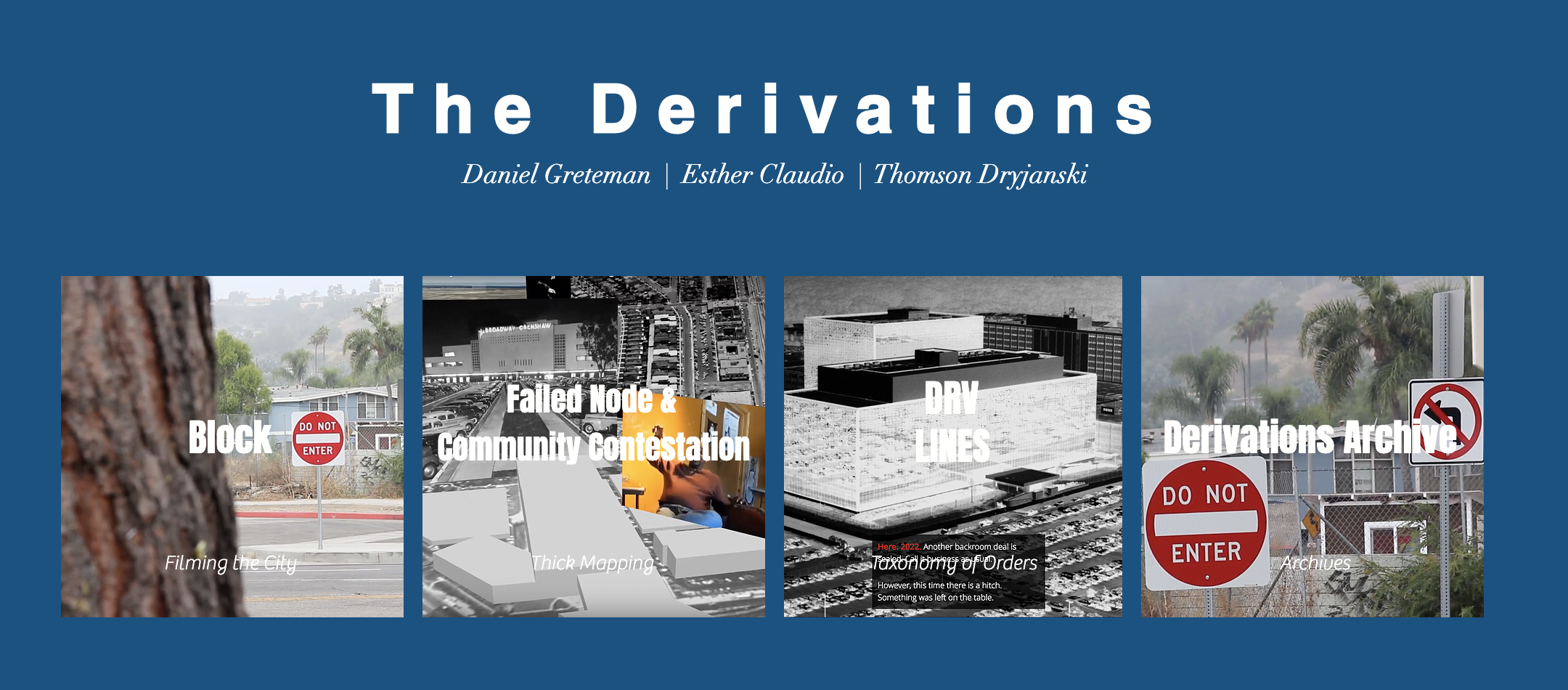
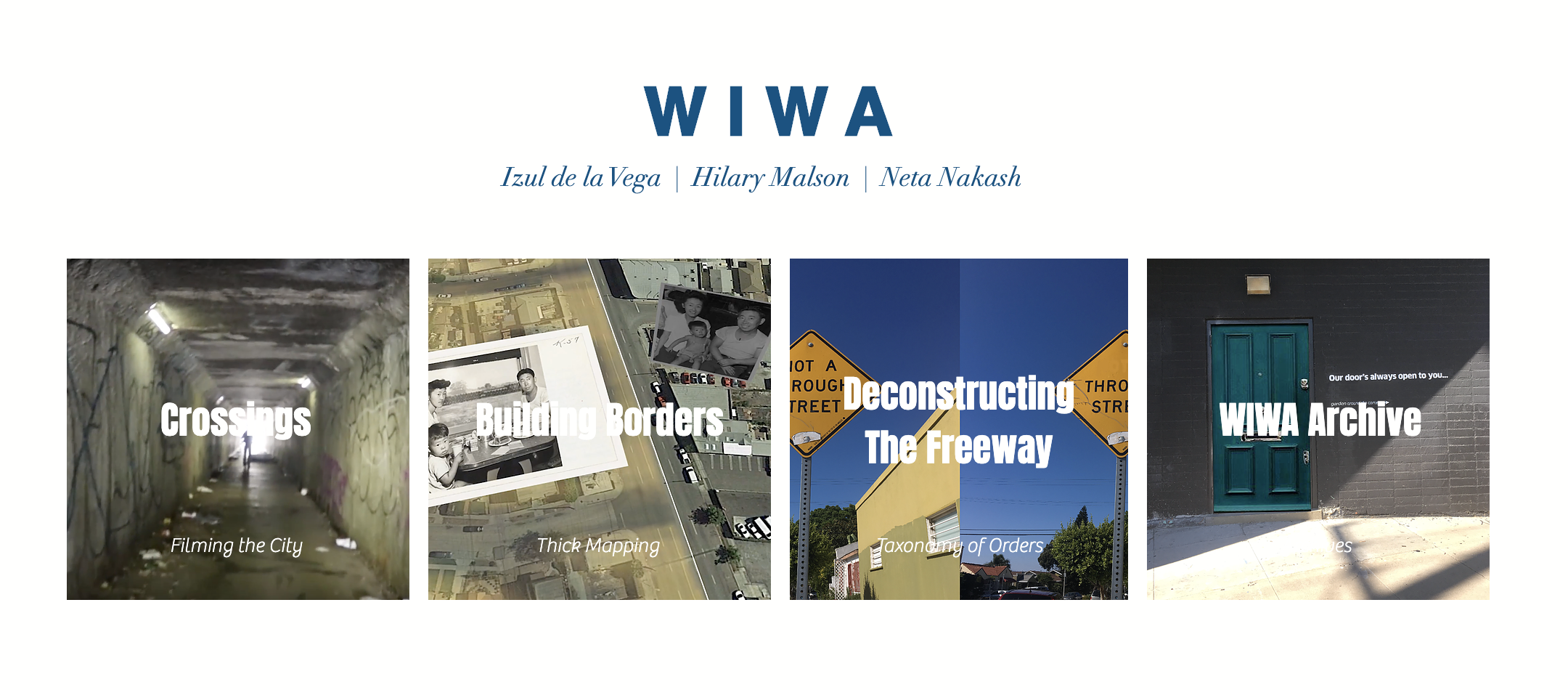
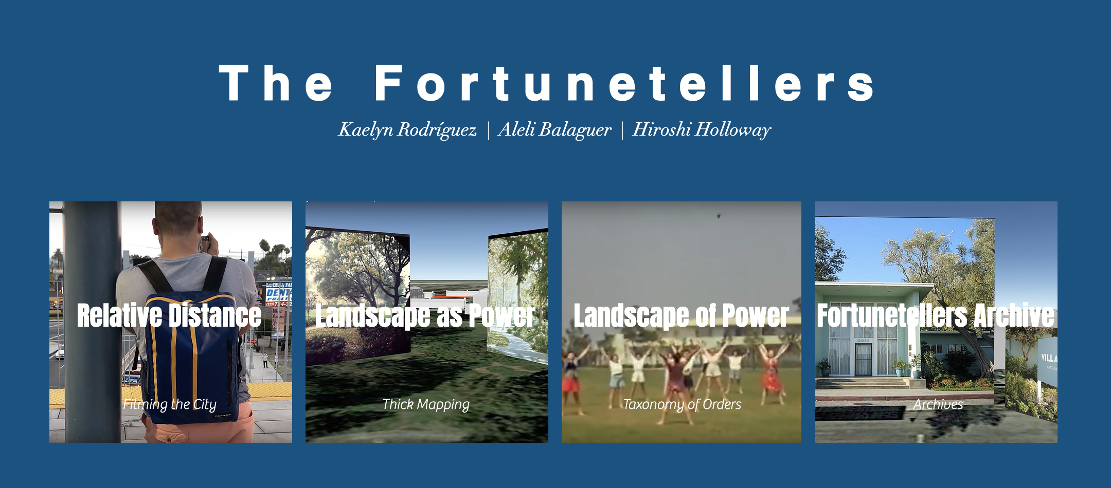
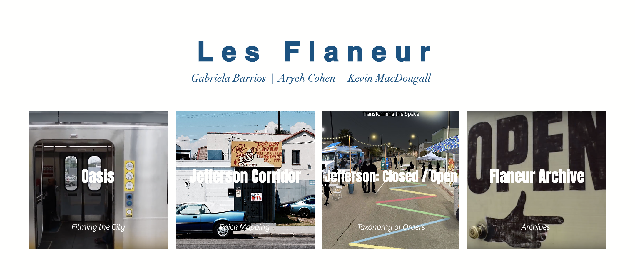

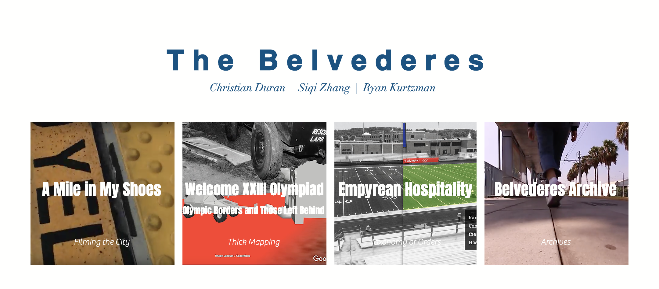
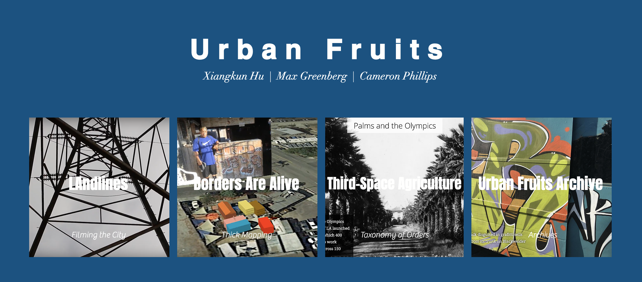
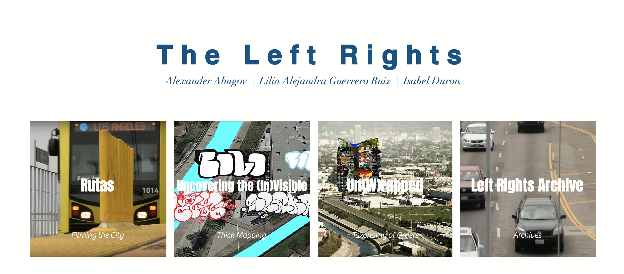
In the summer of 2017, graduate students in the Urban Humanities Certificate program created ‘Story Maps’ that integrated and augmented their summer work in the West Adams neighborhood. Using the Esri Story Map web platform, students created a website that offers a historical, descriptive and speculative story on urban borders in each area of study. Students were free to explore different typologies of borders, such as cultural, physical or institutional borders. The Esri Story Map allowed students to create websites that integrate texts, sounds videos and images to offer viewers multimedia narratives. The narratives presented include historical and descriptive components based on students’ archival and field-based research. Students integrated film and a video-recorded tour of their thick maps, and augmented their analyses through additional research. The second part of the Story Map moves into the realm of the speculative, Each student team envisioned a novum - a scientifically plausible innovation used in sci fi narratives – to imagine an alternative future in West Adams. Each novum - this hypothetical ‘new thing’ – should either participate to the constructing or undoing of borders within each area of study. Each new story or narrative is multimedia, and includes visual as well as text-based components. The story should show how this ‘new thing’, or ‘innovation’ will affect a series of elements that might include social relations, urban politics, neighborhood relations, movement in the city.